Colac local newspapers
Looking for Accommodation in Colac, VIC?
Local newspapers matching Colac
C
- Colac Herald (Colac, Winchelsea, Lorne, Wye River, Skeens Creek, Apollo Bay, Cobden, Simpson, Timboon, Cororooke, Coragulac, Beeac, Cressy,)
- Corryong Courier (Corryong, Khancoban, Walwa, Cudgewa, Colac Colac, Tintaldra, Tooma, Greg Greg, Towong, Bringenbrong, Welaregang)
W
- Western District Farmer »
Distributed first week monthly as a supplement to South-Western Victoria's major rural newspapers: (Camperdown Chronicle, Mortlake Dispatch, Terang Express, Cobden Times, Western Plains Advertiser (Skipton), Hamilton Spectator, Portland Observer, Pyrenees Advocate (Beaufort), and via Aust. Post Farmer Points to Warrnambool, Ararat, Colac, Ballarat, Winchelsea and Districts.)
Colac, Victoria
|
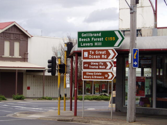
Start start of the Beechy Rail Trail and a crossroads to attractions Photo 28/09/2008 |
The Colac Otway Shire is located two hours west of Melbourne and renowned for its magnificent southern coastline, the Otway rainforests and the northern lakes and craters district. Colac, on the Princes Highway is bordered by Lake Colac which is the largest fresh water lake in Victoria. And to its west, lays Lake Corangamite (a heavily salted water) which claims to be the largest inland natural lake in Australia with a surface area of 234 square km!. From an historical railway perspective the town is the start of the Beechy Rail Trail (former railway line) that goes south over hills into the valley of Gellibrand and then winds its way up over 1700 feet to Beech Forest at the top of the Otway ranges. |